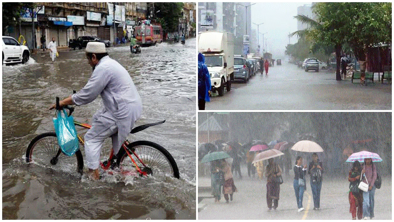


IMD issues severe weather alert for September 23 with extremely heavy rain in Bihar, Jharkhand, MP and heavy showers in AP, Coastal Karnataka.
Published: September 23, 2026, 6:20 PM IST
Share Article
https://www.india.com/news/india/imd-weather-forecast-september-230926-extremely-heavy-rainfall-in-bihar-jharkhand-and-madhya-pradesh-heavy-downpour-in-andhra-pradesh-coastal-karnataka-8529369/

Maharashtra Weather Update
National Weather forecast (September 23, 2026): The India Meteorological Department (IMD) has issued severe weather warnings across 19 states today due to an active deep depression over the Bay of BengalThe weather department has predicted intense monsoonal activity is concentrated across eastern, central and southern regions, bringing torrential rainfall, high-velocity squalls and flash flood hazardsMeanwhile, the southwest monsoon is actively withdrawing from northwest India, leaving northern regions predominantly clear and dryHere are all the details you need to need to know about the National Weather forecast (September 23, 2026) issued by the IMD.
Central & East-Central India
-
Heavy Rainfall: Extremely heavy downpours at isolated places in Chhattisgarh and Odisha; heavy rain across Bihar, Jharkhand and East Madhya Pradesh.
-
Wind & Storms: Thundersqualls with winds reaching 50–60 km/h in Chhattisgarh and OdishaLightning and gusty winds (40-50 km/h) over Bihar, Jharkhand and Gangetic West Bengal.
-
Flash Flood Risk: Low-to-moderate flood risks active in Chhattisgarh (Dantewada, Narayanpur) and Odisha (Jagatsinghpur, Puri, Cuttack, Khurda, Ganjam).
Southern & Coastal Belt
-
Heavy Rainfall: Heavy to very heavy rain over Coastal Andhra Pradesh, Coastal Karnataka, and TelanganaIsolated heavy falls in Interior Karnataka, Kerala, Mahe and Rayalaseema.
-
Wind & Storms: Strong surface winds across Andhra Pradesh and Telangana; thundersqualls up to 60 km/hGusty winds (30-50 km/h) with lightning over Tamil Nadu, Puducherry and Kerala.
-
Flash Flood Risk: Inundation threat in Coastal Andhra Pradesh (Srikakulam, Visakhapatnam, Guntur, Kakinada) and Telangana (Khammam, Mulugu).
Flash flood alert in north Andhra as Deep Depression nears landfall
Authorities have issued a flash flood alert for north coastal Andhra Pradesh as a Deep Depression over the Bay of Bengal is expected to cross the North Andhra Pradesh-South Odisha coast on Wednesday night, triggering heavy rainfall and strong winds across the region.
The India Meteorological Department (IMD) has issued a red alert for north coastal Andhra Pradesh for the next 24 hours, forecasting widespread heavy to very heavy rainfall accompanied by gusty winds of 50-70 kmph.
The weather system, centred near the Andhra coast on Wednesday morning, is expected to make landfall between Visakhapatnam and Gopalpur, close to Kalingapatnam, as a Deep Depression by Wednesday night.
Northeast & Eastern Sub-Himalaya
-
Heavy Rainfall: Very heavy rainfall over Assam and MeghalayaIsolated heavy rain across Nagaland, Manipur, Mizoram, Tripura, Arunachal Pradesh, Sub-Himalayan West Bengal and Sikkim.
-
Wind & Storms: Thunderstorms accompanied by lightning and gusty winds active across the entire region.
West & North India
-
Heavy Rainfall: Heavy rain restricted to isolated areas of Konkan, Goa, and Maharashtra.
-
Wind & Storms: Gusty winds (40–50 km/h) over Konkan & Goa and MaharashtraIsolated lightning warnings for Uttar Pradesh, Gujarat and West Madhya Pradesh.