The national capital sizzled under intense heat on Monday, with the Ridge area station recording a maximum temperature of 43.4 degrees Celsius, as per the India Meteorological Department (IMD).
Published: June 9, 2026, 11:13 AM IST
Share Article
https://www.india.com/news/india/karntaka-weather-update-imd-heatwave-alert-monsoon-bengaluru-hubballi-dharwad-mysuru-kalaburagi-mangaluru-belagavi-ballari-mysuru-hubballi-cyclone-delhi-mumbai-8440755/
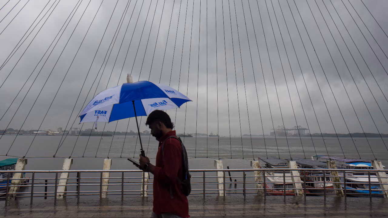
Image for representational purposes only (PTI)
New Delhi: The India Meteorological Department (IMD) has issued red and orange alerts for several districts of Karnataka for the coming days. This development comes after the southwest monsoon continues its steady advance across southern India, bringing widespread rainfall to Karnataka. According to the IMD, the strengthening monsoon is expected to trigger intense rainfall across coastal and interior parts of Karnataka between June 9 and June 11.
It is important to note that the weather agency has placed Dakshina Kannada, Udupi, Uttara Kannada, Chikkamagaluru and Shivamogga under a red alert for Tuesday, June 9, warning of extremely heavy rain, while several other districts remain under orange alert.
Here are some of the key details:
- The southwest monsoon is India’s main rainy season, typically lasting from June to September
- This season accounts for nearly 70% of the country’s annual rainfall
- The southwest monsoon season is crucial for agriculture, reservoirs, drinking water supplies, and hydropower generation.
- Karnataka is among the first states expected to experience a significant increase in rainfall.
- Bengaluru is likely to receive heavy showers and thunderstorms over the next few days
- The minimum temperatures in the city are also likely to dip gradually, bringing relief from the summer heat.
- IMD has said that the weather conditions remain favourable for the monsoon to advance further over the next few days.
- Besides Karnataka, the system is expected to spread into additional parts of Maharashtra, Telangana and Andhra Pradesh
- The IMD has also indicated that eastern states such as Odisha, West Bengal and Chhattisgarh could see increasing rainfall activity as the monsoon pushes northward.
Delhi Weather Update:
The national capital sizzled under intense heat on Monday, with the Ridge area station recording a maximum temperature of 43.4 degrees Celsius, as per the India Meteorological Department (IMD). The weather department has also said that the southwest monsoon is likely to reach Delhi and the National Capital Region (NCR) between June 25 and June 30.
It is important to note that the announcement comes after thunderstorms and scattered rainfall brought much-needed relief from the blistering summer heat across Delhi-NCR. The brief spell of rain last week led to a drop in temperatures and improved weather conditions. However, the main focus is on the arrival of the monsoon, which remains crucial for the region after weeks of scorching heat. The southwest monsoon officially arrived over Kerala on June 4, three days later than its normal onset date.
FAQs: Karnataka Monsoon Update – Heavy Rainfall Alert
Q1. Which cities in Karnataka are expected to receive heavy rainfall?
A: As per the latest IMD prediction, cities including Bengaluru, Mysuru, Hubballi, Shivamogga, and Davanagere are likely to experience heavy rainfall.
Q2. What does the IMD’s red alert mean?
A: A red alert indicates the likelihood of extremely heavy rainfall and potentially hazardous weather conditions.
Q3. How much rainfall is expected in Karnataka?
A: Rainfall intensity may vary by region, but areas under a red alert can experience very heavy to extremely heavy rainfall within a short period.
Q4. Are there risks of flooding in low-lying areas?
A: If heavy rain persists, low-lying areas, underpasses, and regions near lakes and rivers are likely to witness localized flooding
Q5. Should schools and offices remain open during the red alert?
A: Any decision regarding closures will be made by local authorities.