Weather models indicate that a major weather system is developing near the equator in the Indian Ocean. Over the next 4 to 7 days, it will move towards the Bay of Bengal, thereby strengthening the monsoon winds.
Published: June 27, 2026, 3:46 PM IST
Share Article
https://www.india.com/news/india/even-as-north-india-swelters-meteorological-department-announces-arrival-of-monsoon-but-why-isnt-it-raining-explained-imd-weather-update-humidity-heat-heavy-rainfall-delhi-ncr-8459120/

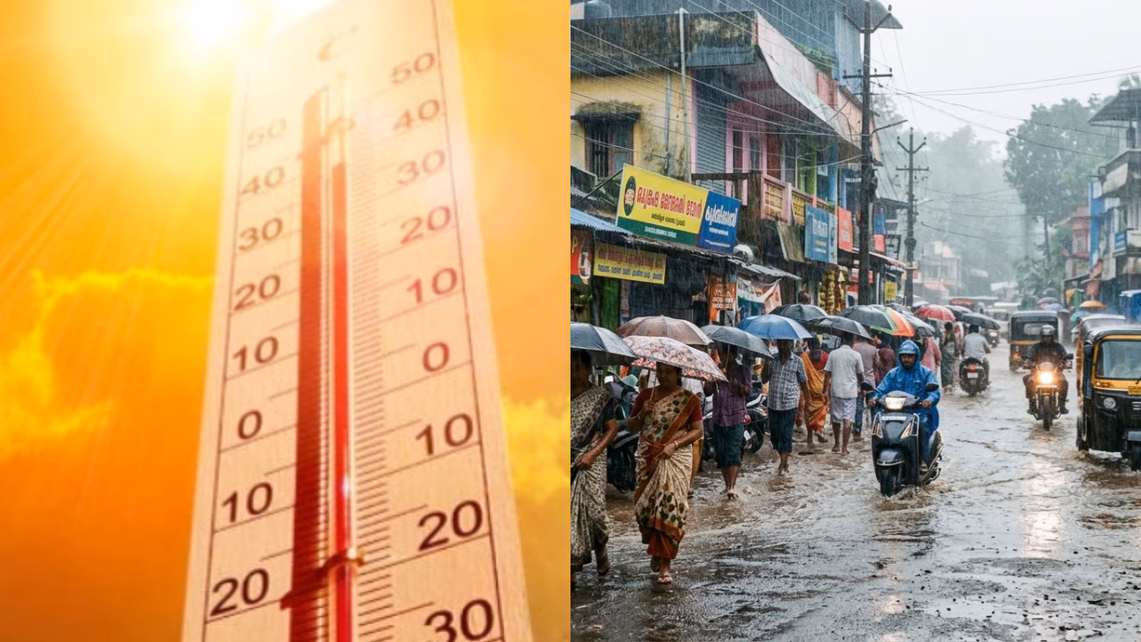
New Delhi: North India is currently enduring a spell of oppressive, humid heat. While the Meteorological Department claims the monsoon is steadily advancing, the skies remain completely clear. If you are wondering why it isn’t raining despite the monsoon’s arrival, the answer lies not in a weather anomaly but in the science behind it. Let’s use satellite imagery and the latest weather models to understand where the monsoon is stalled and when heavy rainfall is expected to begin in North India.
Southwest Monsoon Advancing Rapidly: IMD
The India Meteorological Department (IMD) states that the Southwest Monsoon is advancing rapidly. Conditions are highly favourable for it to reach parts of Gujarat, Madhya Pradesh, Chhattisgarh, Jharkhand, Bihar, Uttar Pradesh, and Uttarakhand over the next 3 to 4 days. According to meteorologists, understanding this situation requires distinguishing between the monsoon’s advance and the occurrence of widespread heavy rainfall.
What Do The Satellite Images Show?
Recent images from the INSAT-3DS satellite indicate that the monsoon is currently positioned over Central India, the eastern states, the Bay of Bengal, and parts of South India. Meanwhile, skies over North India—including Delhi—are devoid of clouds. In other words, while monsoon winds are moving northward, the specific weather systems that trigger heavy rainfall have not yet formed.
According to the IMD, the arrival of the monsoon is determined not merely by rainfall, but by shifts in wind patterns, humidity levels, and sustained atmospheric activity across a vast region. Therefore, the monsoon can technically enter a state even if cities within it continue to experience hot and dry weather for a few days.
The Reason Behind The Lack Of Rain
Weather experts state that the primary reason for the current lack of rainfall is the absence of a low-pressure system over the Bay of Bengal.
A low-pressure area is often referred to as the “engine” of the monsoon. It draws vast amounts of moisture from the ocean and pushes it towards central and northern India. Without this driving force, moisture-laden winds weaken, resulting in rainfall in only a few isolated areas.
Also Read: Ram Mandir donation row: Champat Rai, Anil Mishra resign from Ram Temple Trust; 8 arrested
When Will There Be Relief?
Weather models indicate that a major weather system is developing near the equator in the Indian Ocean. Over the next 4 to 7 days, it will move towards the Bay of Bengal, thereby strengthening the monsoon winds.
This will lead to the formation of a low-pressure area in the Bay of Bengal and potentially a cyclonic circulation over western India. Together, these systems will increase atmospheric moisture and bring rainfall to northern India. If this forecast holds true, the intensity of rainfall will pick up in the first week of July, and the monsoon will advance rapidly across northern India—including Delhi-NCR—bringing significant rain.