As per the India Meteorological Department, several districts of Uttar Pradesh are expected to witness rain accompanied by thunder and lightning on Saturday as well.
Published: June 13, 2026, 12:13 PM IST
Share Article
https://www.india.com/news/india/uttar-pradesh-up-monsoon-update-rain-thunderstorm-cyclone-heatwave-kanpur-banda-chitrakoot-kaushambi-prayagraj-ghaziabad-hapur-gautam-buddha-nagar-aligarh-mathura-hathras-agra-8445200/
Uttar Pradesh Monsoon Update
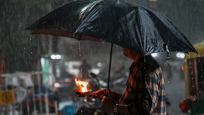
New Delhi: The pre-monsoon season has finally arrived in Uttar Pradesh. As per the India Meteorological Department (IMD), pre-monsoon showers have been occurring across the state for the past two days. The department has forecast thunderstorms, hailstorms, and rainfall in 24 districts over the next 24 hours. Wind speeds of 50–60 km/h have been recorded in some areas, while gusts of 60–80 km/h have been reported in others.
Districts including Hardoi, Kanpur Dehat, Sitapur, Bareilly, Aligarh, and several other areas witnessed rain accompanied by thunder and lightning on Friday, according to the weather department. The rainfall led to a drop in both maximum and minimum temperatures. Even after a short spell of rain, waterlogging was reported on roads and in residential lanes.
Weather Department Issues Fresh Alert:
As per the India Meteorological Department, several districts of Uttar Pradesh are expected to witness rain accompanied by thunder and lightning on Saturday as well. Strong winds with speeds ranging from 50 to 80 km/h are expected in many areas. The department has also warned of hailstorms and lightning strikes in some regions.
Rain Alert Issued for 24 Districts Today:
The weather department has issued a rainfall alert for Banda, Chitrakoot, Kaushambi, Prayagraj, Sonbhadra, Mirzapur, Chandauli, Varanasi, Sant Ravidas Nagar (Bhadohi), Ghaziabad, Hapur, Gautam Buddha Nagar, Bulandshahr, Aligarh, Mathura, Hathras, Agra, Firozabad, Etawah, Jalaun, Hamirpur, Mahoba, Jhansi, and Lalitpur, along with surrounding areas.
Here are some of the key details:
- On Saturday morning, the sky remained cloudy over the state capital, Lucknow.
- Strong winds blowing at speeds of 50 to 60 km/h were recorded in some areas
- Light drizzle was also reported at a few places.
- Clouds continued to move across the sky at intervals throughout the day.
- On Friday, the maximum temperature dropped by 3°C. While the maximum temperature was 39°C on Thursday, it fell to 36°C on Friday, which is 3°C below the seasonal average.
- The minimum temperature was recorded at 26.5°C.
Delhi Weather Update:
The India Meteorological Department (IMD) on Friday said the southwest monsoon has advanced further into several parts of southern and eastern India, while a western disturbance is expected to trigger widespread rainfall, thunderstorms, hailstorms and strong winds across northwestern India till June 13. The National Capital is under a yellow alert for June 13. Delhiites can expect partly cloudy skies with thundersqualls and gusty winds reaching 40-50 kmph, accompanied by a spell of light rain in the afternoon or evening. Temperatures are expected to range between a comfortable low of 23°C and a maximum of 37°C.
On Friday, Delhi residents woke up to cloudy skies and a windy, pleasant morning as the minimum temperature dropped to 22.8 degrees Celsius after an overnight rain. The city’s base weather monitoring station, Safdarjung, recorded a minimum temperature of 22.8 degrees Celsius, 5.2 notches below normal, marking a sharp 24-hour fall of 7.2 degrees.