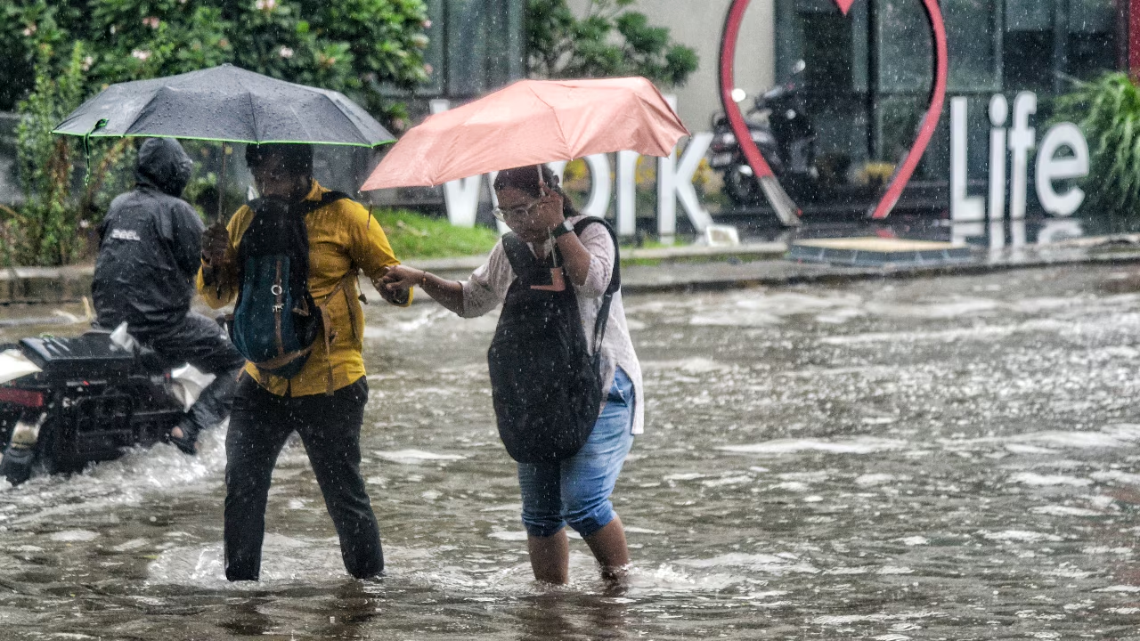
Driven by a dramatic pressure shift between land and sea, India’s monsoon winds arrive in June, splitting into two powerful branches that sustain the nation’s agriculture.
Share Article
https://www.india.com/news/india/how-do-monsoon-winds-reach-india-heres-everything-you-need-to-know-imd-weather-8469587/
Monsoon in India- File image
New Delhi: The Indian Meteorological Department (IMD) is monitoring a massive atmospheric shift over the Indian Ocean that dictates the country’s economic life structure. Every year between June and September, India undergoes a dramatic weather transformation that alters its entire climate pattern. While the sudden arrival of heavy rains across the subcontinent appears to happen overnight, the actual phenomenon is driven by a hidden, massive planetary wind reversal system that builds up silently over several months.
How do Monsoon winds reach India?
The process begins during peak summer when intense heat bakes the northern plains and the Tibetan Plateau. This extreme heating causes the air over the landmass to expand and rise rapidly, creating an intense low-pressure zone. Meanwhile, the southern Indian Ocean remains relatively cool, maintaining a dense high-pressure system.
Because air naturally moves from high to low pressure, these massive, moisture-laden oceanic winds rush northward toward the empty space over India. As they cross the equator, the earth’s natural rotation curves them from the southwest, pushing them directly into the southern coast of Kerala to unleash the heavy downpours.
The Mechanism of the Monsoon
The season kicks off in early June as monsoon winds strike Kerala, spreading across the rest of India by mid-July. This phenomenon is driven by temperature differences: during summer, the landmass of northern and central India heats up much faster than the surrounding ocean. This intense heat creates a low-pressure zone over the land, while the cooler Indian Ocean maintains higher pressure. Because air moves from high to low pressure, moisture-laden sea breezes are pulled inland, bringing widespread rain.
Also read: PMO reviews El Niño impact on India, urges centre-state synergy on preparedness
South West Monsoon: The Two Pathways
Known as “southwesterlies” due to the direction from which they blow, these winds divide into two distinct streams:
-
The Arabian Sea Branch: Travels along the west coast, delivering heavy rainfall to the Western Ghats and central India.
-
The Bay of Bengal Branch: Sweeps across the eastern sea, bringing moisture to eastern and northeastern India.
When these humid winds collide with major mountain ranges like the Himalayas and the Western Ghats, they are forced upward, where they cool and condense into heavy rainfall. Additionally, weather systems brewing over the warm waters of the Bay of Bengal regularly move inland, drenching the northern plains.