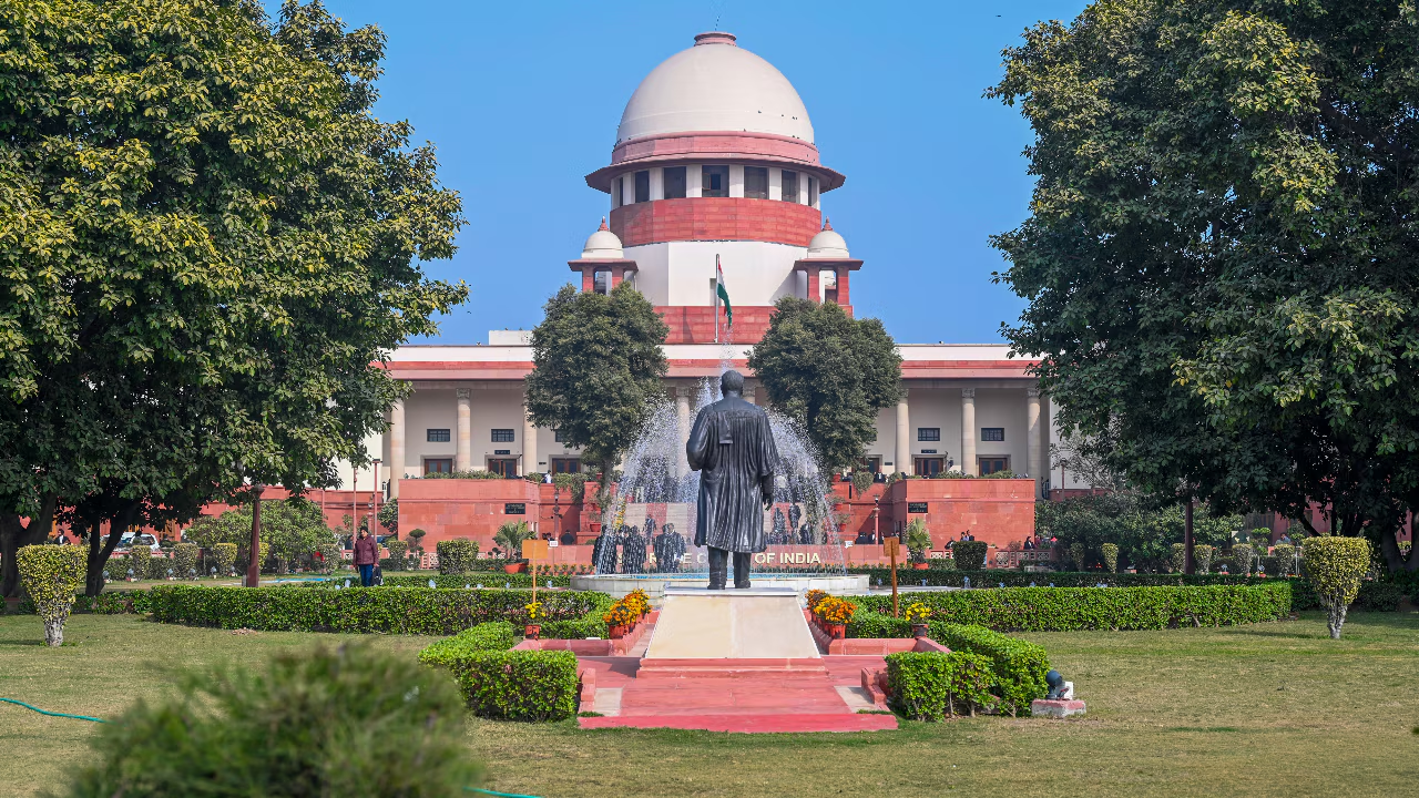





August 14: Yellow alert in Chandrapur, Gadchiroli, Gondia, and BhandaraOrange alert in the Pune and Satara Ghat area with the possibility of very heavy rain.
Published: August 13, 2026, 9:13 AM IST
Share Article
https://www.india.com/news/india/maharashtra-monsoon-mumbai-rains-imd-weather-update-thuderstorm-gondia-gadchiroli-nashik-thane-pune-raigad-ratnagiri-sindhudurg-kolhapur-8500302/
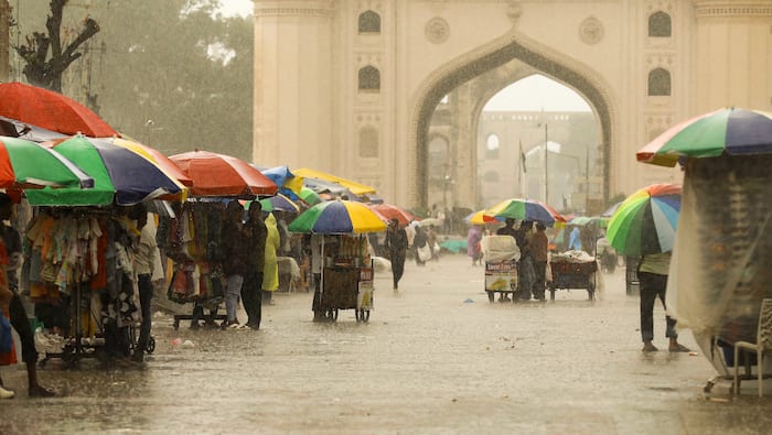
Maharashtra Weather Update
New Delhi: The state of Maharashtra witnessed heavy rainfall in July; however, the intensity of the rain eased somewhat in early AugustNow, the weather department is predicting moderate to heavy rainfall in some parts of the state over the next few daysThe main reasons behind this are changing weather conditions over the Bay of Bengal, the low-pressure area over Madhya Pradesh and Rajasthan, and active southwest monsoon winds from the Arabian Sea.
According to the weather department, a new low-pressure area is forming in the Bay of BengalDue to this, heavy rains are likely in some parts of East India, including OdishaAt the same time, the impact of the low pressure area over Madhya Pradesh and Rajasthan is also being felt in Maharashtra.
Maharashtra Weather Update: Here are some of the key details
- Yellow alert for Gondia, Gadchiroli, Nashik Ghat, Thane, Pune Ghat, Raigad, Mumbai, Ratnagiri, Sindhudurg, Kolhapur Ghat, and Satara Ghat areas.
- August 14: Yellow alert in Chandrapur, Gadchiroli, Gondia, and BhandaraOrange alert in the Pune and Satara Ghat area with the possibility of very heavy rain.
- Yellow alert in Thane, Mumbai, Raigad, Ratnagiri, Sindhudurg, and Kolhapur Ghat.
- August 15: Yellow alert in Nagpur, Bhandara, Chandrapur, Gadchiroli, and GondiaYellow alert is also likely to remain in the Pune, Satara, Ratnagiri, and Kolhapur Ghat areas.
- As per the reports, rain has once again intensified across Maharashtra, with continuous showers lashing Konkan and the ghat areas of Madhya Maharashtra.
- The weather department has issued a yellow alert for the possibility of heavy rain in Konkan, the ghat areas, and eastern Vidarbha today.
- Light showers are expected at isolated places across the rest of the state.
- In addition, a zone of converging winds continues to prevail over central India and adjoining southern India due to opposing easterly and westerly winds at altitudes of 3.1 to 7.6 km above sea level.
- In the 24 hours ending Wednesday morning, Chandrapur recorded the highest temperature in the state at 35.2°C, while Mahabaleshwar recorded the lowest at 17.2°C.
UP to see intensified monsoon activity from August 13
Monsoon activity is expected to intensify across Uttar Pradesh from August 13, with widespread rainfall and isolated spells of heavy rain likely in the state till August 18, according to the India Meteorological Department (IMD)The fresh spell of monsoon rainfall is expected to begin over eastern Uttar Pradesh on August 13 and gradually spread to central and adjoining western parts of the state on August 14.
The weather department said a low-pressure area over northwestern Madhya Pradesh and another system over the northern Bay of Bengal are influencing the monsoon trough.